






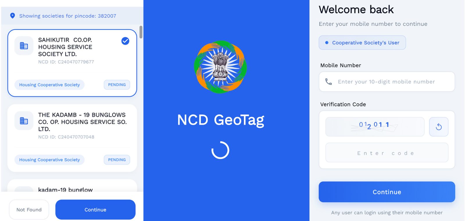
The Ministry of Cooperation is strengthening the digital mapping of cooperative societies across India through the NCD Geotag Mobile App, an initiative aimed at ensuring their accurate geographical identification and location on the National Cooperative Database (NCD).
The app uses GPS-based technology to capture the precise geographical position of cooperative societies, making it easier to identify their locations digitally. The Ministry has shared the initiative as part of its broader efforts to promote digital empowerment and strengthen the cooperative sector under the vision of “Sahkar Se Samriddhi”.
The NCD Geotag Mobile App is expected to support more seamless and accurate mapping of cooperative institutions, helping improve the reliability of location-related information maintained in the National Cooperative Database. By linking societies with their geographical coordinates, the initiative can contribute to a more structured digital record of the country’s extensive cooperative network.
India has a vast cooperative ecosystem spanning agricultural credit, dairy, fisheries, consumer services, housing, labour and several other sectors. Accurate location data can help provide a clearer picture of the geographical spread of these institutions and support better access to information about their presence across states, districts and rural areas.
The geotagging initiative also has potential significance for planning and monitoring cooperative development programmes. Reliable geographical information can help authorities understand where cooperative institutions operate and identify areas where further institutional outreach may be required. It can also complement the government’s ongoing efforts to modernise cooperative administration through digital platforms and improved database management.
The National Cooperative Database serves as a central digital repository of information on cooperative societies across the country. Improving the accuracy of its location records through GPS-based mapping represents another step towards strengthening the database as a resource for cooperative-sector planning and development.
The initiative is aligned with the government’s broader emphasis on technology-driven governance and the modernisation of cooperative institutions, including Primary Agricultural Credit Societies (PACS), which play a crucial role in delivering credit and other services in rural India.
The Ministry has invited users to download the NCD Geotag Mobile App through its official portal: https://cooperatives.gov.in/
The rollout reinforces the importance of reliable digital information in building a more transparent, accessible and efficiently managed cooperative ecosystem. By enabling precise geographical mapping, the app seeks to strengthen the digital foundation of India’s cooperative movement and support its continued expansion.
The supplied announcement does not specify the app’s launch date, the number of societies already geotagged or the detailed process for submitting coordinates. The story therefore avoids presenting these details as confirmed facts.